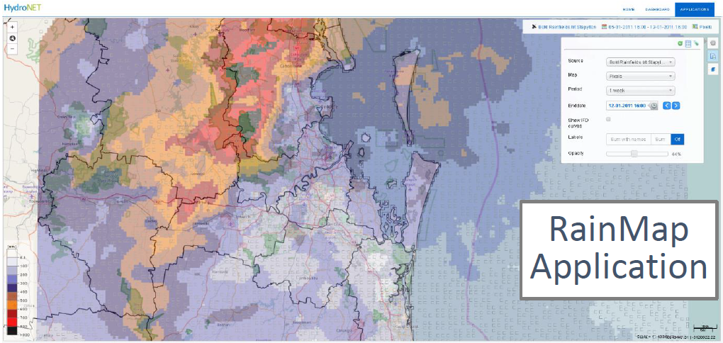
Understanding the benefits of radar rainfall, the quality of the data and how it can be used is important for hydrological studies, emergency response and to understand large catchments with a limited number of gauges. Accessing data when you need it, and having confidence in the quality of that data, is covered during the presentation.
Webinar: Radar Rainfall calibration

This webinar provided background to how the Bureau of Meteorology is using radar rainfall data, what radar products they have available and how the HydroNET platform can be used to access calibrated radar rainfall data.
- How reliable is the radar rainfall forecast?
- What is the usefulness of radar rainfall data?
- Can radar rainfall be used for more than just planning the afternoon BBQ
Presenters:
Dr Alan Seed, Bureau of Meteorology
Dr Alan Seed has worked with the Bureau since 1997 and has a passion for using radar data in hydrology. His radar rainfall estimation and forecasting work is renowned worldwide with numerous publications and citations.
Steve Clark, Water Technology
Steve has over 25 years’ experience as a specialist in the water resources and coastal engineering fields specialising in flood risk and flood risk management. His work in waterway, floodplain and floodplain risk management; and infrastructure investigations has frequently utilised advanced hydrodynamic modelling systems and has been undertaken throughout Australia and Internationally.
Download the presentation: Webinar-HydroNET-RadarRainfall
For more information about HydroNET and how it can be used for flood emergency planning and response please contact us at hydronet@watertech.com.au.
